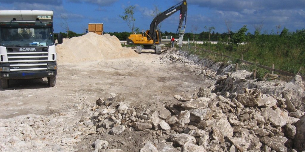
Topography surveys are a valuable tool in developing properties, or to plan ways to further develop existing improvements, such as utilities and accesses. Many subdivision plans require topography drawings used not only for the developer, but also by the governing bodies in order to regulate the land use.
We offer geolocalized topographic and boundary land surveys, construction staking, horizontal and vertical stakes and grades for excavation and construction of any structure.
EC offers structural engineering drawings and calculations in order to obtain Building regulations approval for industrial, infrastructure and commercial markets.